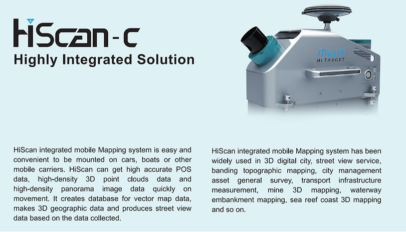
The HiScan-C is a fully integrated mobile mapping system with Hi-Target advanced 3D laser and geo-referenced digital imagery which proofed to be a perfect solution when a massive amount of asset data needs to be collected in a short time. By combining leading-edge technology with a deep understanding of surveyors’ workflows, data integration and maintenance across the lifecycle of projects, the HiScan-C enables surveyors to improve workflows for field data collection and productivity.
Key features
Fully integrated, compact design, simple mount
High-density, high accuracy point cloud with 360° geo-referenced images
Users calibration-free, vehicle independent
Applications
Internet Street View Map Application
Zonal Section Surveying and Mapping 3D Model Application
Digital Urban Management Application
Digital Traffic Application
Digital Waterway or Coastal Zone
Contact Us
For more information about Hi-Target HiScan-C Mobile Mapping System leave your contact information and one of our consultants will contact you.